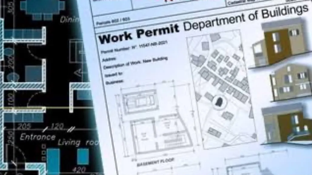
Planning permission drawings are an important part of a planning application. They show the local planning authority what you are proposing to build, alter or change and allow officers to assess the development against planning policies and other considerations.
The drawings required will depend on the type and scale of your project. A house extension, for example, may require existing and proposed floor plans and elevations, while a larger development may require a much wider range of drawings, plans, surveys and supporting information.
Understanding what planning permission drawings are required before submitting an application can help you prepare a complete proposal and avoid unnecessary delays.
What Are Planning Permission Drawings?
Planning permission drawings are technical drawings submitted as part of a planning application to describe the proposed development.
They can show:
- The location of the property or development site
- The existing layout of the site
- The proposed site layout
- Existing and proposed floor plans
- Existing and proposed elevations
- Roof plans
- Building sections
- Site levels
- Access and parking arrangements
- The relationship between the proposed development and surrounding properties
The purpose is to give the local planning authority enough information to understand what is being proposed.
GOV.UK states that planning applications must include plans and drawings, with a location plan required as a minimum. Additional plans and drawings will usually be needed to describe the proposed development, depending on the application.
What Drawings Are Needed for Planning Permission?
There is no single set of planning permission drawings that applies to every project. The exact requirements depend on the development and the local planning authority’s national and local validation requirements.
However, the following drawings are commonly required.
1. Location Plan
A location plan shows where the application site is in relation to the surrounding area.
It should be based on an up-to-date map and normally show nearby roads, buildings and other features that make the site’s location clear.
The application site is generally outlined with a red line. The red line should include all land necessary to carry out the proposed development, such as areas required for access, parking or landscaping.
The typical scale for a location plan is 1:1,250 or 1:2,500.
2. Site or Block Plan
A site plan, sometimes referred to as a block plan, provides a more detailed view of the development site.
It can show:
- Existing buildings
- Proposed buildings or extensions
- Site boundaries
- Gardens and external areas
- Existing and proposed access
- Parking spaces
- Boundary treatments
- Nearby buildings
- Landscaping and other relevant site features
The appropriate scale will depend on the proposal and local requirements, with 1:100 or 1:200 commonly used for smaller developments.
For example, some local authorities specifically require existing and proposed block plans at 1:100 or 1:200 for householder applications.
3. Existing Floor Plans
Existing floor plans show the current internal arrangement of the property.
They may identify:
- Rooms
- Walls
- Doors
- Windows
- Stairs
- Existing dimensions
- The relationship between different parts of the building
Existing plans are important because they establish the starting point against which the proposed development can be assessed.
4. Proposed Floor Plans
Proposed floor plans show what the property will look like after the development has been carried out.
For an extension, this may show the additional floor area, new rooms, changes to internal walls, doors and windows, and how the extension connects to the existing building.
Existing and proposed floor plans are commonly drawn at 1:50 or 1:100, depending on the project and the level of detail required.
It is important that the proposed drawings clearly communicate the extent of the development. They should correspond with the other drawings submitted with the application.
5. Existing and Proposed Elevations
Elevation drawings show the external appearance of a building from different sides.
They can show:
- Building height
- Roof form
- Windows and doors
- External materials
- Extensions
- Changes to the building façade
- The relationship between existing and proposed elements
Where a building is being altered, both existing and proposed elevations may be needed so that the planning authority can clearly see what is changing.
For example, if you are adding a rear extension, the proposed elevation can demonstrate its height, roof design, materials and relationship with the existing property.
Planning authorities may also require elevations to show all relevant sides of a proposed or altered building.
6. Roof Plans
A roof plan shows the shape and arrangement of the roof when viewed from above.
This can be particularly important where the proposal involves:
- A loft conversion
- A dormer
- A roof extension
- Roof alterations
- Rooflights
- Changes to the roof form
A roof plan can help the planning authority understand how the proposed roof will relate to the existing building and surrounding properties.
7. Section Drawings
A section drawing shows the building as though it has been cut through vertically.
This can demonstrate information that may not be clear from floor plans or elevations, including:
- Floor-to-ceiling heights
- Floor levels
- Roof height
- Building structure in relation to the site
- The relationship between the proposed development and neighbouring buildings
- Changes in ground levels
Planning Portal guidance states that a section drawing should show relevant new parts of the development, floor levels and how the proposal relates to neighbouring buildings.
Section drawings become particularly useful where the site slopes or where changes in levels are an important planning consideration.
8. Site Levels and Topographical Information
Where a proposal involves changes in ground levels, additional information may be needed to show existing and proposed levels.
This can be particularly important for developments on sloping sites, extensions that sit close to neighbouring properties, basements and larger developments.
A site levels plan can show proposed levels in relation to neighbouring land and provide a fixed reference point.
Not every planning application will require a detailed topographical survey, but where levels affect the planning assessment, accurate information can be important.
What Scale Should Planning Permission Drawings Be?
Planning permission drawings need to be produced at an appropriate and identifiable scale.
Common examples include:
| Drawing | Typical scale |
| Location plan | 1:1,250 or 1:2,500 |
| Site/block plan | 1:100 or 1:200 |
| Floor plans | 1:50 or 1:100 |
| Elevations | 1:50 or 1:100 |
| Sections | 1:50 or 1:100 |
| Site levels | 1:200 or 1:500 |
These are typical examples rather than universal requirements. The appropriate scale can vary according to the proposal and the local authority’s validation requirements.
GOV.UK guidance states that plans and drawings should be drawn to an identified scale and plans should show the direction of north. A scale bar is also useful, particularly for electronic submissions.
Always check the relevant local planning authority’s validation requirements before finalising your drawings.
Existing vs Proposed Planning Drawings
One of the most important aspects of planning permission drawings is making the difference between the existing building and the proposed development clear.
For many projects, you will need both existing and proposed drawings.
The existing drawings establish the current situation. The proposed drawings then demonstrate what will change.
These drawings should be consistent with each other and with the rest of the application.
For example, if a proposed floor plan shows a rear extension, the proposed site plan and elevation should reflect the same extension. Inconsistencies between drawings can make it harder for an officer to understand exactly what is being proposed.
What Makes Good Planning Permission Drawings?
Good planning drawings should make the proposal easy to understand.
They should generally be:
- Accurate
- Clearly labelled
- Drawn to an appropriate scale
- Dimensioned where relevant
- Consistent across the application
- Clearly distinguishable between existing and proposed features
- Accompanied by a north point where required
- Given drawing titles and reference numbers
- Updated with revision information where drawings change
Local validation requirements can be specific. For example, some councils require drawings to include a scale bar, original paper size, drawing references and clear dimensions.
The drawings should also contain enough information to explain the development without becoming unnecessarily complicated.
Do You Need an Architect for Planning Permission Drawings?
Not every planning application requires an architect, and the appropriate professional depends on the nature and complexity of the project.
For a relatively straightforward householder development, planning drawings may be prepared by an architectural designer or another suitably experienced professional.
For more complex developments, you may need architectural, planning and specialist input.
The important point is that the drawings must accurately represent the development and provide the information required for the planning application.
Planning Build can provide architectural design support as part of the wider planning process, helping to develop drawings that can support your planning proposal.
Get Planning Permission Drawings Right From the Start
Planning permission drawings are more than illustrations of a proposed development. They form an important part of the information the local planning authority uses to understand and assess your proposal.
The drawings you need will depend on your project, but they may include location plans, site plans, floor plans, elevations, roof plans, sections and level information.
Getting the drawings right means making sure they are accurate, appropriately scaled, clearly labelled and consistent with the rest of the planning application.
If you are preparing a development and need support with the drawings, planning strategy or application itself, Planning Build can help. Our team can help you understand what information your proposal requires and how the drawings fit into the wider planning application.